
Big Island Hiking
Hawai‘I
Kona, Big Island
Exploring Hawaii’s Wild Side
More than 300 miles of trail cross this island, through eight of the world’s thirteen climate zones. Rainforest, cloud forest, lava desert, ranch land, and alpine ground above 13,000 feet. You can hike two of those in the same morning if you plan it right.

Plan Around the Drive
The thing nobody tells you is how much of Big Island hiking is driving. A trailhead an hour and a half away is normal, and the weather at the other end is often nothing like the weather you left. I have turned around at more than one trailhead because I did not check.
So plan the day, not the hike. Look at conditions for where you are going. Start early, both for the parking and for the heat. And check access before you commit, because trails and roads here close for erosion, eruption, and cultural protection, sometimes for years at a stretch.
Trails Close to Kona
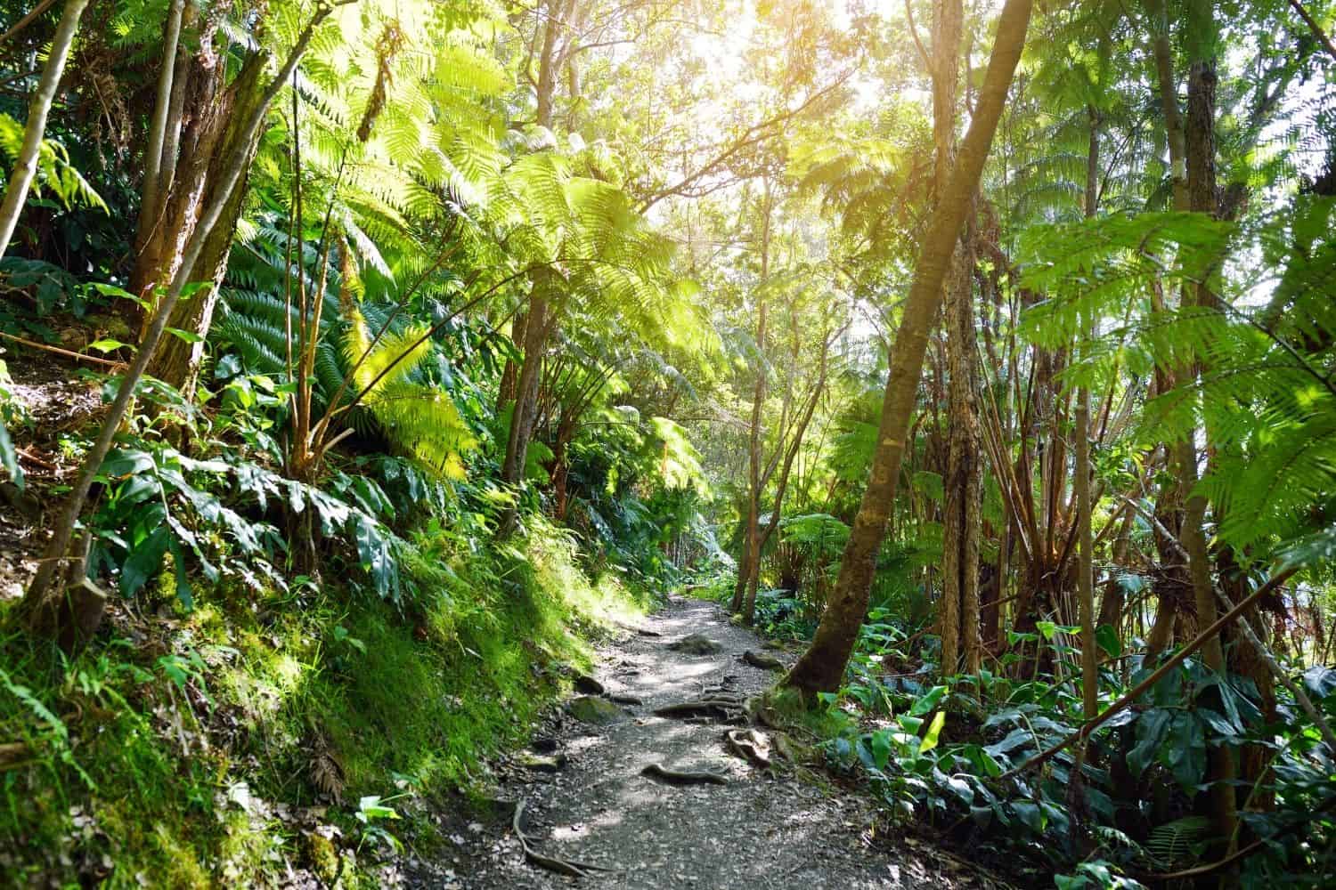
Koloko Trail
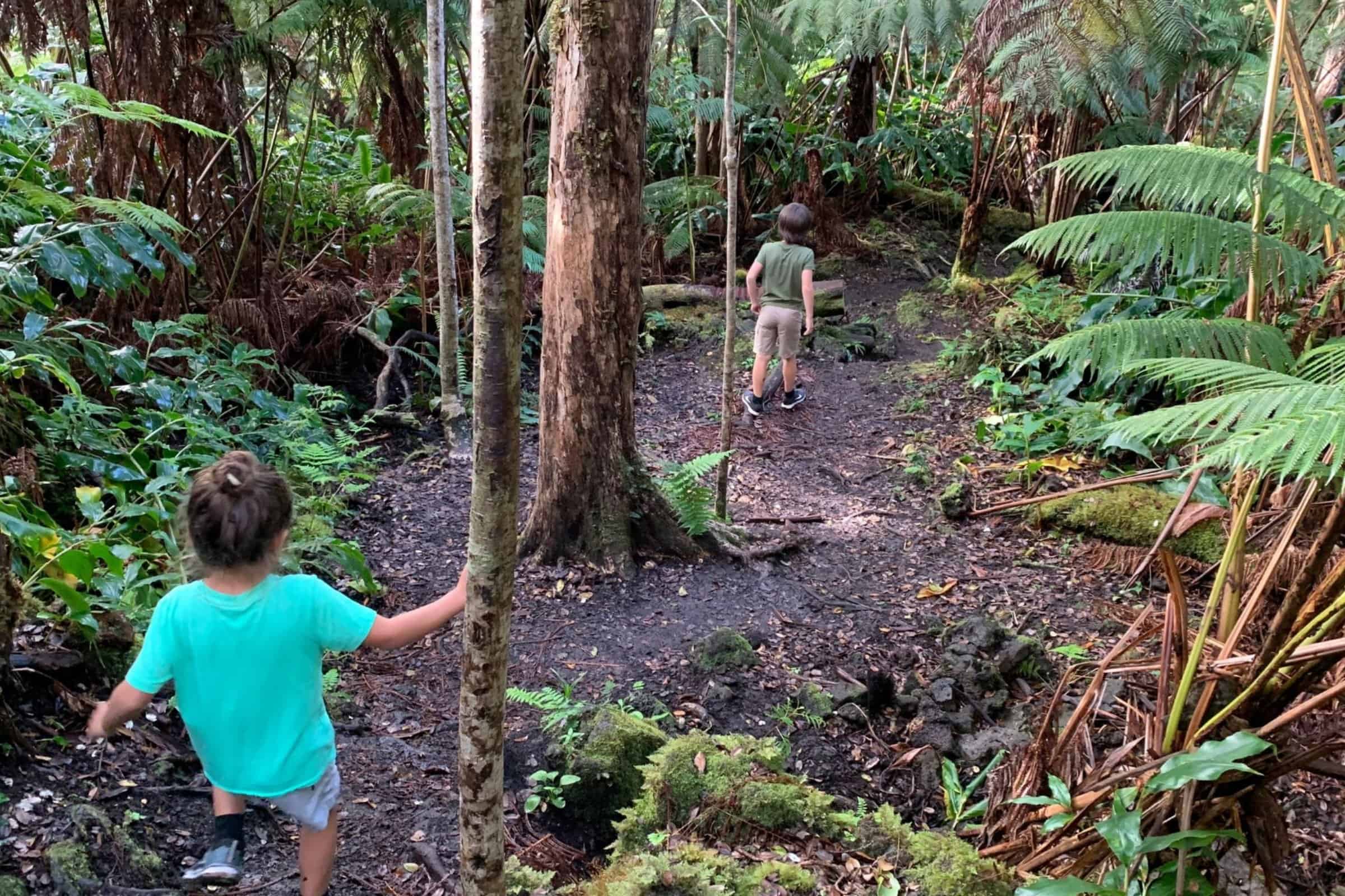
The one I actually use. Fifteen minutes from Historic Kailua Village and essentially in the backyard of Kaiminani and Holualoa, Kaloko is a set of short loops through quiet ohia and fern cloud forest halfway up Kaloko Drive. Mostly easy to moderate, with a few technical sections and slippery roots after rain. It runs busy early in the morning and again late in the afternoon, because that is when people here can get out.

Pu‘u Wa‘awa‘a
A cinder cone above Puuanahulu, ten miles north of Kailua-Kona, with trails that run easy to moderate and a summit hike of about seven miles round trip. From the top you get long views down the Kohala Coast. The dryland ohia forest here is one of the more biologically significant places on this island, with endangered plants and a good deal of native birdlife. Runners use it as much as hikers do.

King’s Trail
The Ala Kahakai National Historic Trail, built in the mid-1800s for horse travel, once ran thirty-two miles from Kailua-Kona north to Puako. You can take it in sections rather than all at once, and the easiest way in is at Waikoloa Beach Resort near the gas station. Look for the trailhead signs. It is fully exposed lava with no shade at all, so go early or go late, and carry more water than the distance suggests.
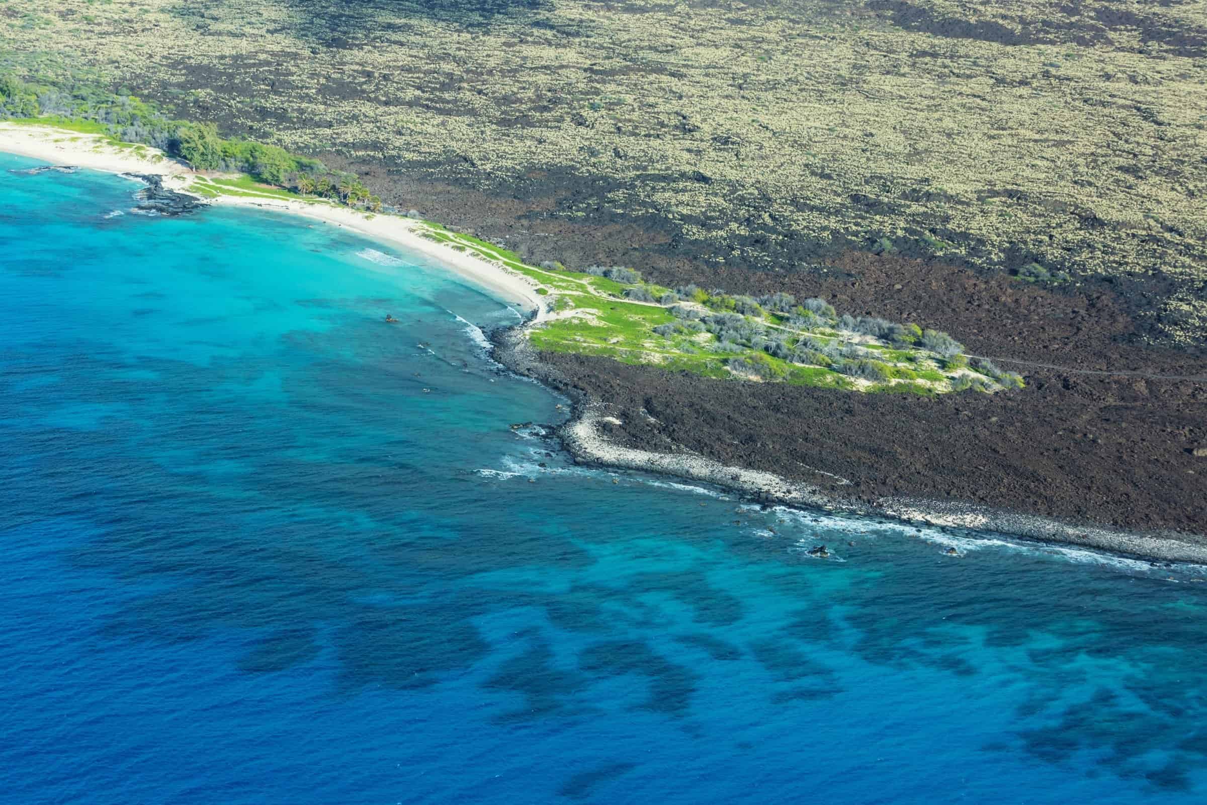
Makalawena
A rough fifteen-minute walk over lava from the Mahaiula end of Kekaha Kai State Park, and the reason it stays uncrowded is that the walk keeps most people out. What you get is one of the better white sand beaches in the state with almost nobody on it. Wear real shoes for the lava, bring everything you need, and go early because the state park gate closes in the evening and does not wait.
Big Island Hiking
Waipio Valley Lookout
Waip‘io Hiking Update **
The Waipiʻo hike has been closed since 2022. Waipiʻo Valley Road is closed to all pedestrians under a county emergency rule that has been renewed continuously, with no exception for hikers. Access to the valley floor is limited to county residents, permitted tour operators, and Native Hawaiians exercising traditional and customary rights.
The lookout at the top is open, free, and still one of the great views in Hawaiʻi. If you want to reach the floor, a permitted shuttle tour is the only legal option. Anything you read online telling you to walk down is out of date.
Worth the Drive

Volcanoes National Park
More than 150 miles of maintained trail and the single best day of hiking on this island. You can cross the Kilauea Iki crater floor over ground that was a lava lake in 1959, walk through native ohia forest, or follow Chain of Craters Road down to the coast. Roughly two and a half hours from Kona, so treat it as a full day. Check the park site before you go, since eruption activity closes trails on short notice.
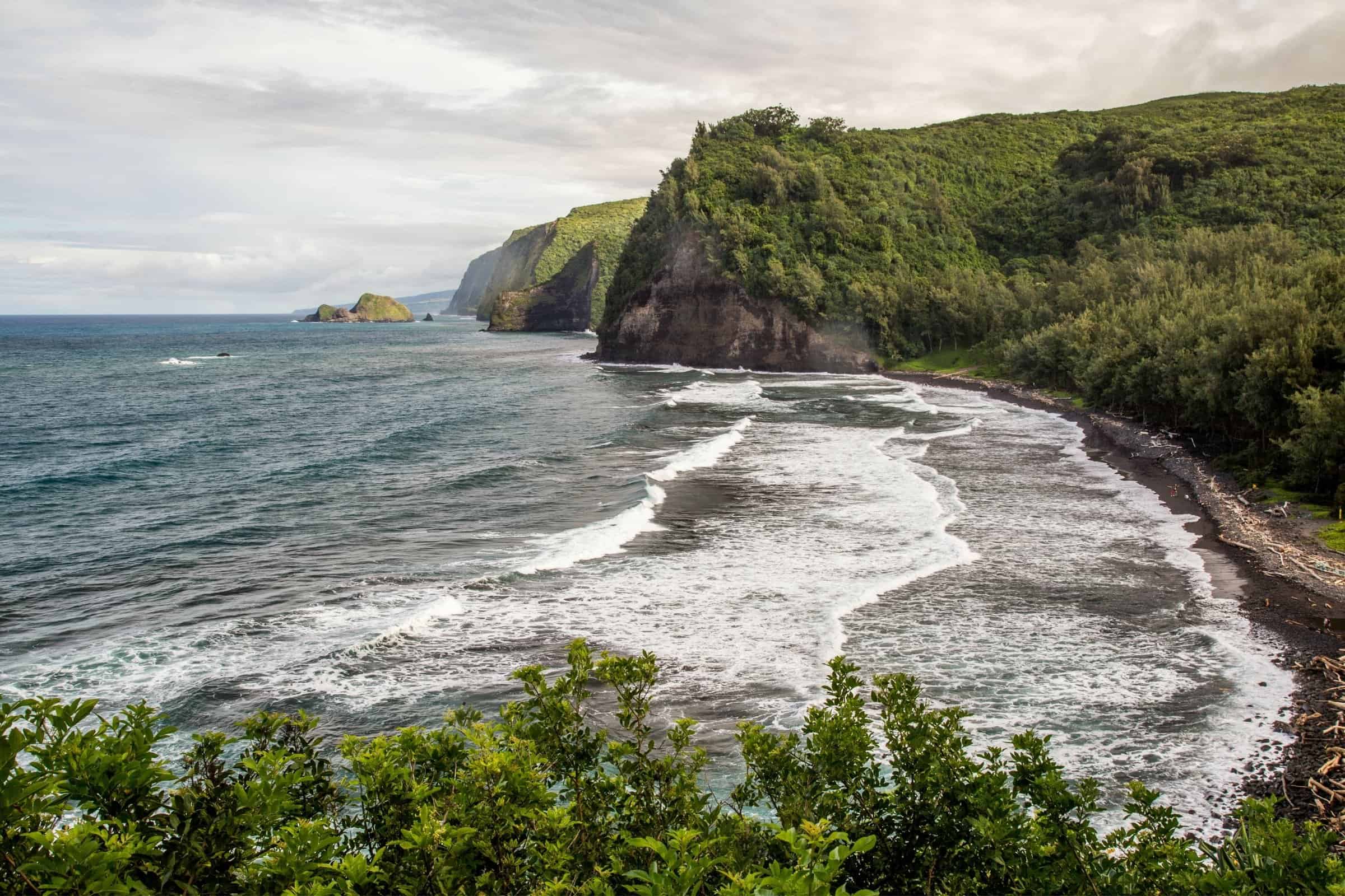
Pololu Valley
The most photographed lookout in North Kohala, and the trail down is only 0.6 miles but drops 420 feet on packed dirt and rock. Fifteen to twenty minutes down, thirty to forty-five back up, and slick enough after rain that you should think twice. The black sand beach at the bottom is worth it. Parking is about ten cars and fills by nine. The ocean here is dangerous, and much of the land beyond the beach is private and sacred.

Green Sand Beach
Papakolea, near Ka Lae at the southern tip of the island and one of only a handful of green sand beaches anywhere. The hike is a flat five miles round trip, which sounds easy and is not, because it is exposed to dust, heat, and constant wind on a sandy track. Do not pay for a ride in the back of a truck. Budget a full day with the drive from Kona, and go for the contrast as much as the sand.
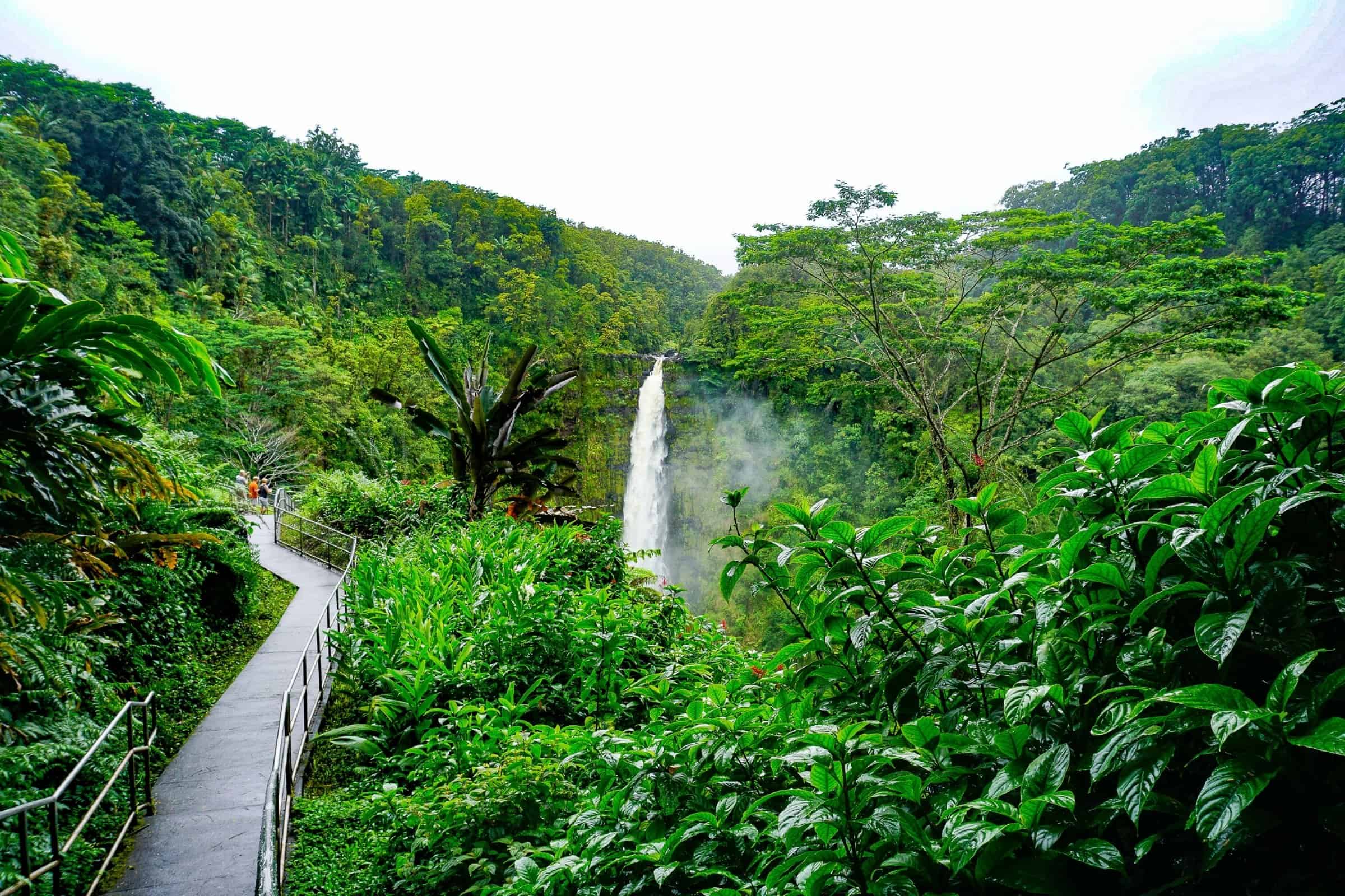
Akaka Falls
A 0.4-mile paved loop through dense tropical vegetation to an overlook on a 442-foot waterfall, on the east side of the island along the Hamakua Coast. Short, easy, and genuinely memorable, which makes it the rare hike that works with small children and grandparents in the same group. It is a State Park with a small entrance fee. About an hour from Waimea, so pair it with something else on that side.
Penn Henderson, R(S)
How I Learned This Island
Driving to trailheads has helped build my understanding of the Big Island. Long stretches of Saddle Road and the Hamakua Coast and the back way into North Kohala, most of it before I ever thought about selling real estate here. You cover a lot of ground chasing a hike, and you notice how quickly the island changes on you. Dry lava at the highway, cloud forest twenty minutes later, ranch country over the next rise.
That is the thing mainland buyers underestimate. This island is enormous, and every district feels like somewhere else. When someone asks me what it is like to live in Waimea versus Holualoa versus the Kohala Coast, I am not describing neighborhoods from a map. I am describing places I have spent a lot of weekends.
Big Island Hiking
Before You Hit the Trail

Na Ala Hele
The State of Hawaii Trail and Access Program, established in 1988 in response to public concern about the loss of access to specific trails and the threat to historic trails from development. It is the authoritative source for what is legally open, and it is worth checking before you drive an hour to a trailhead.

Research
Many trailheads here are an hour or more from the Kona Coast, and conditions change fast with elevation. Check the weather for where you are going, not where you are. Bring more water than you think you need. Tell someone your plan, because cell service disappears quickly once you are off the highway.
Respect
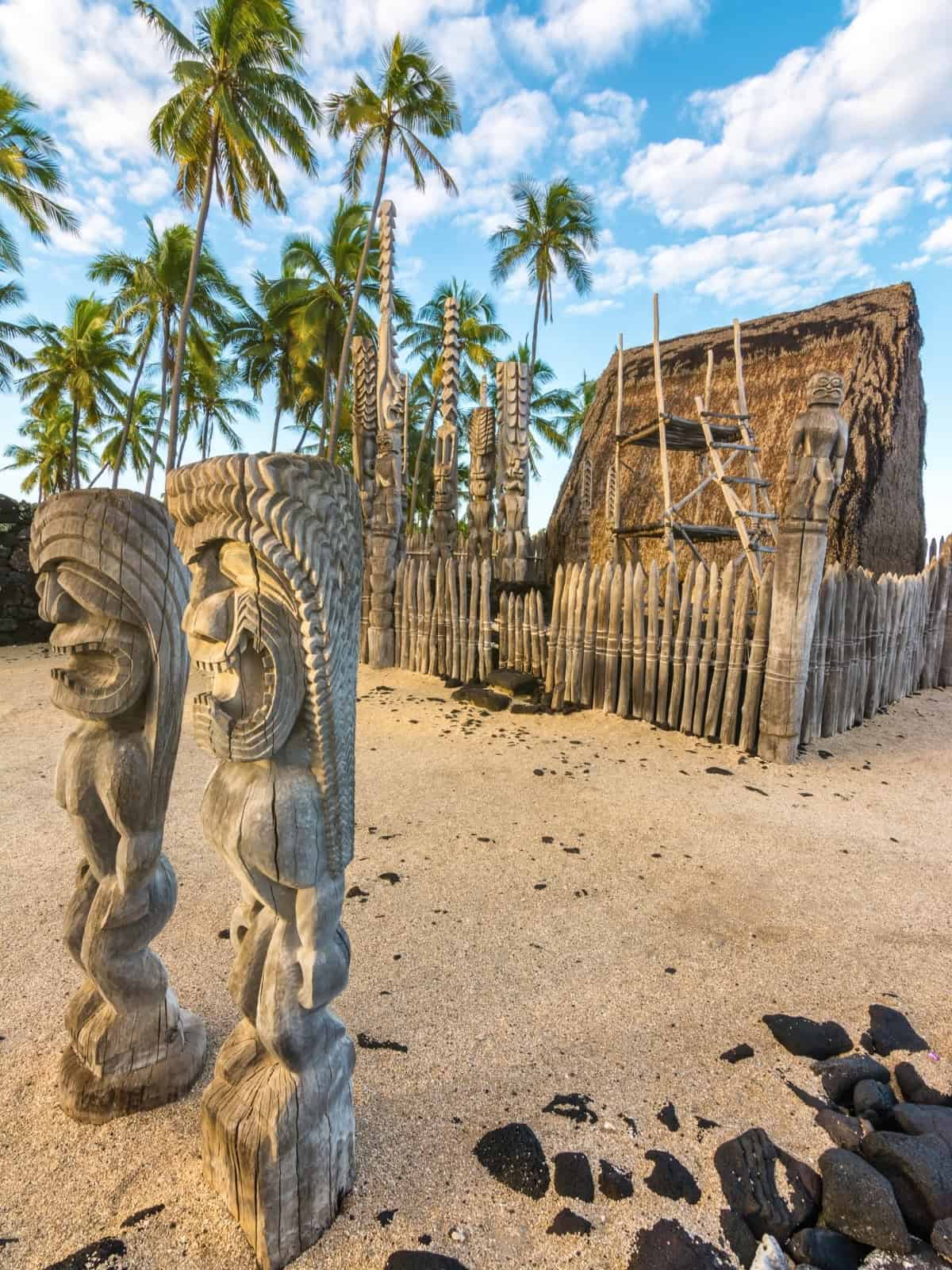
A lot of this island is privately owned, and a lot of it is sacred. Stay on marked trails, do not cross fences or gates – no matter how tempting – and take the signs at places like Pololu warning you away from burial sites seriously. Access here depends on visitors treating it well. That is not a formality.
What Hikers Often Ask Me When Buying
The question underneath most of these calls is about access. How far to a trailhead, whether there is public land nearby, whether the road holds up in rain. Those answers vary a lot by neighborhood, and they are not obvious from a listing.
Then there is the part that surprises mainland buyers. Adjacent land here is often private, conservation, or agricultural, and what looks like open space behind a property may or may not be walkable. I can pull zoning and adjacent parcel information on anything you are considering and tell you what you would actually have access to.
Best Areas on the Big Island to Live if You Want Nearby Hiking
FAQ
Common Questions About Hiking On The Big Island
Talk Story
Every Big Island move starts with a conversation. Tell me what you are looking for, and we will take it from there.


75-1029 Henry St., Suite 301
Kailua-Kona, HI 96740
Phone: (808) 345-6214
Email: penn@pennhenderson.com